
Behind the scenes (Geodesy)
- 14.10.2015
- 1 min käytetty lukemiseen

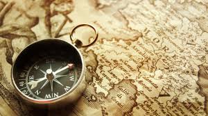
Geodesy is a scientific branch that is gaining more popularity over the years. It is still quite an unknown as far as the world of jobs go, but it is a very interesting field that should quickly grow. Geodesy is the science of mathematically determining the size and shape of the earth and the nature of the earth’s gravity field. It applies the principles of geometry to surveying and mapping the earth. Geodesy itself has many avenues that an interested person could travel.
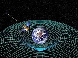
Many specialists in the filed also refer to something called geomatics, which directly connects to geodesy. Geodesists will take geographical information and analyze it with computer hardware and software. This process is very important to environmental studies, monitoring dams, oil fields, navigation of ships, and oceanography.
A typical person in the field of geodesy could have many various tasks throughout their day. Some would use Geographical Information Systems to perform computer queries between maps and databases. Others would use GPS to make observations, process data, and train. There is also a need for urban and rural planning or software development. Basically, as a geodesist there are a variety of tasks that one could perform throughout any given day, but for the most part one would be surveying and observing the land.


Kommentit